Comments on NJDEP’s Proposed Inland Flood Protection Rule
Submitted on behalf of the Jersey Water Works Climate Resilience Committee and Green Infrastructure Committee on February 2, 2023
Climate Change Precipitation Totals for Design Storms
Choice of Projection and Data Adjustments:
- We agree with the incorporation of the following into permit requirements: updated precipitation projections for 10- and 100-year storms through 2099, based on a moderate climate scenario, that also take into account the structure’s design life.
- The adaptation provides a useful way to ensure that design stormwater targets and management incorporate current and future conditions.
- Overall, we encourage the state to pursue updated mapping and data wherever feasible through partnerships with federal and state agencies. Several other states (MD, NC, PA, SC, and VA) have pursued updates to the National Oceanic and Atmospheric Administration (NOAA) Atlas 14, for example.
Increase of Fluvial Design Flood Elevation by 2 Feet and Adapting the Flood Hazard Area Extent:
- We also agree with increasing the design flood elevation (DFE) to accommodate increased flooding that we have experienced since flood maps were made in the state (primarily during the 1970s and 1980s).
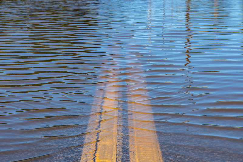
- Data collection has shown that several areas have regularly equalled or exceeded the Federal Emergency Management Agency (FEMA) 500-year floodplain, emphasizing how outdated the current maps are. In three cases, Tropical Storm Ida’s precipitation amounts exceeded the current design flood elevation by more than two feet. More than 30% of claims for both Tropical Storms Ida and Henri were outside of state designated flood hazard areas.
Balance of Green and Gray Infrastructure:
- Increasing stormwater management requirements could lead to incentivizing the dominant use of gray infrastructure techniques in areas where real estate values are high and green infrastructure requires a larger footprint to manage the same amount of stormwater. It will be important to evaluate all alternatives before coming to a decision about what works best for the intended project and community, and an optimized balance of green and gray infrastructure should be considered wherever possible.
- We encourage the department to include design guidelines or other measures that explicitly require or prioritize the use of stormwater best practices and green infrastructure methods to the extent feasible. The rating systems Envision, Leadership in Energy and Environmental Design (LEED), and Waterfront Edge Design Guidelines (WEDG) provide useful references that could be referenced in this development.
Expanding Flood Hazard Areas
Adding additional areas to the flood hazard area makes sense given that the current area grossly underestimates flood potential. Specific comments are as follows:
Adjustments to Freeboard
- Given existing data and that past storms have already exceeded two feet above existing flood hazard areas in some locations, the additional elevations of two to three feet of freeboard to existing maps are logical adjustments.
- These adjustments reflect the best available data in many areas, though a more accurate set of flood maps should be a high priority for the state, as accurate maps could provide much more important specificity and are preferred to blanket adjustments.
Ability to Refine Maps Using the Updated Method 6:
- It is important to have flexibility to amend or incorporate more accurate data sets for more complex development and construction projects.
- Should there be changes proposed and approved based on more accurate and updated mapping, the state should include a process for quickly updating maps based on new data.
Visualization and Detailed Methods to Reach Design Flood Elevation:
- While the rulemaking includes graphics depicting methods to expand the flood hazard area (p. 108–116), we recommend including clear graphics depicting preferred methods for achieving design flood elevation for structures, differentiating between DFE and flood elevation. For different types of structures and projects, it may be important to have the flexibility to achieve DFE through setbacks, elevation, or wet/dry floodproofing, or a combination of these methods.
- The below diagrams from the Waterfront Edge Design Guidelines (WEDG) manual depict two cases: a setback of a building in a low-mid-density context and a DFE of a maritime facility achieved through dry and wet floodproofing and elevation of critical equipment. We encourage the New Jersey Department of Environmental Protection (NJDEP) to understand and accommodate the wide range of structure types and contexts where appropriate through a range of pathways to reach DFE.
Other Comments
Economic Benefits:
- We agree that the economic benefits of implementing these rules are overwhelmingly positive. New Jersey suffers some of the greatest losses due to flooding in the nation, with devastating financial impacts on individuals, municipalities, and the entire state.
- Without action, not only will all stakeholders continue to be directly impacted by storms, but the reliance on property taxes in flood-prone areas presents significant secondary risks to local economies.
Resilience Planning:
- Municipal and regional stormwater management plans can identify areas and infrastructure vulnerable to climate change and propose actions to mitigate those vulnerabilities, but some communities may not have the capacity or expertise to develop resilience actions, even though the effects of climate change require immediate action.
- We recommend NJDEP provide sample language and recommended resilience actions that communities might include in their municipal and regional stormwater management plans by publishing model stormwater management plans with detailed guidance, as well as guidance on incorporating climate change in stormwater management plans.
Local Adoption:
- NJDEP should clarify when municipalities will be required to update their local ordinances. There will be a Phase 2 of NJ PACT that will impact this rule area further. Updating ordinances includes several steps and sometimes requires consultant support. It would be helpful to know what the state is thinking for updates to local ordinances.
Climate Resilience Committee Co-chairs:
Russ Dudley, Arcadis and Patricia Lindsay-Harvey, Willingboro Municipal Utilities Authority
Green Infrastructure Committee Co-chairs:
Bill Cesanek, CDM Smith; Rosana Pedra Nobre, NY/NJ Harbor Estuary Program; and Chris Obrupta, Rutgers Water Resources Program
Jersey Water Works Contact Person:
Kim Irby, Policy Manager, New Jersey Future
kirby@njfuture.org